Maritime Safety Queensland (MSQ) have provided the below information in italics on the implementation of the next stages of the Noosa River Management Plan, based on community consultation and recommendations from the Noosa River Stakeholder Advisory Committee. In summary, it outlines further anchoring restrictions that come into effect on 31 May 2025 and early indicators on stage six.
Following extensive community consultation, as the next stage of the Noosa River Management Plan, Maritime Safety Queensland will introduce further restrictions on anchoring in the Noosa River for vessels over 5 metres in length.
From 31 May 2025, vessels over 5 metres will be prohibited from anchoring:
- Within 30 metres of the northern shore of the Noosa River, from the Noosa Coastal Bar to Lake Cooroibah, including all of Goat Island.
- Within 30 metres of the southern shore, from Lake Doonella to Lake Cooroibah, including Makepeace and Sheep Islands.
The restrictions mark the start of Stage 5 of Maritime Safety Queensland’s Noosa River Management Plan, which is designed to improve safety for all river users and protect the river’s ecosystem.
The new restrictions compliment those already successfully introduced since July 2024 for the southern shoreline, Woods Bay, Dog Beach and Little Woods Bay.
The existing trial, which allows vessels between 5m and 7.5m to anchor safely and responsibly near the shore for up to 2 hours per day, will also apply to the new Stage 5 areas — provided anchoring is done safely and with consideration for other river users.
Vessels under 5 metres in length, may continue to anchor in these areas, as long as they do so safely and without obstructing other river users. Full details of the new restrictions are available on the Maritime Safety Queensland website.
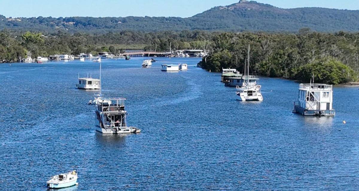
To date, the anchoring restrictions have significantly de-cluttered the river’s shorelines – enhancing navigational safety, restoring access for recreational pursuits and improving visual amenity. They have also helped ease concerns about marine pollution.
Looking ahead, Stage 6 of the plan is scheduled to be introduced on 1 October 2025. This stage will limit vessels over five metres to anchoring for no more than 28 days per financial year for all waters downstream of the southern entrance of Lake Cooroibah including Lake Doonella, Lake Weyba and Wooroi, Eenie, Keyser and Weyba creeks.
This change is expected to reduce long-term stays, lower the risk of anchoring-related incidents, and ensure a safer, more navigable river. More details and information on Stage 6 will be released closer to the date of implementation.

Stage 5 Restricted Anchoring Areas
Regarding stage six, more information will be made available closer to October 2025. Sandy is continuing to work with MSQ and communicating community feedback during the implementation of the Noosa River Management Plan. We will continue to update as further information becomes available.
Further Information
Sandy is encouraging all to continue to provide feedback to MSQ and our office during the rollout of these stages. More detailed information regarding the changes will become available prior to the commencement. To contact the MSQ team, please email sunshinecoast.maritime@msq.qld.gov.au. Sandy will continue to post information to www.sandybolton.com/noosa360 or for anyone wanting an individual response, please email her via noosa@parliament.qld.gov.au.
For our previous Noosa 360 updates on the Noosa River, please visit www.sandybolton.com/?s=Noosa+River.
For a summarised history of the advocacy journey and the roles of the different levels of government in relation to the Noosa River, please read Sandy’s article at www.sandybolton.com/mp-media-the-whole-noosa-river-story-noosa-today-april-2024.

